
informational 7 min read
How Are Cenotes Formed? Limestone, Sea Level and a Crater
Updated October 27, 2026
Cenotes form in three steps: rainwater dissolves the limestone of the Yucatán into caves, sea level rises and falls to flood and drain those caves, and finally a cave roof collapses, opening the water to the sky. The Chicxulub asteroid crater, buried under the north of the peninsula, adds a twist: cenotes cluster along a ring that traces its rim. That is why there are thousands of cenotes here and few anywhere else.
Step 1: rain dissolves the limestone
The Yucatán Peninsula is a flat slab of limestone of about 181,000 km² (70,000 sq mi), per Wikipedia. Limestone dissolves in weak acid. Rain takes up carbon dioxide and turns slightly acidic, then sinks through cracks in the rock.
A Northwestern University karst researcher, E. Monroy-Ríos, explains the process on a university karst blog: the water slowly dissolves the rock into tunnels and chambers. Geologists call this karstification. The north of the peninsula has no rivers above ground, Wikipedia says. The rivers run underground, through those caves.
Step 2: the halocline carves the caves
Under the peninsula, fresh rainwater floats on top of heavier salt water that seeps in from the sea. Wikipedia calls this an anchialine system. The boundary between the two layers is the halocline. It lies 10 to 20 m below the water table near the coast and 50 to 100 m below it in the middle of the peninsula.
Monroy-Ríos writes that the most rock dissolves at the halocline, where fresh and salt water mix. As sea level changes, the halocline moves up or down, and the caves form at different levels. Divers see the halocline today as a shimmering, blurry layer. At Cenote Zapote near Puerto Morelos it even stops the growth of the Hells Bells, bell-shaped rock formations that grow downward until they reach it, per Wikipedia. They began growing more than 5,200 years ago.
Step 3: ice-age sea level and the collapse
At the peak of the last ice age, about 20,000 years ago, sea level was about 120 m lower than today, Monroy-Ríos writes. Many caves that now hold water were dry. Mexico’s INAH, quoted by Reuters in 2018, puts the rise at the end of the ice age at 100 m. Either way, the rising sea pushed the water table up and flooded the caves, preserving the bones of extinct ice-age animals inside them.
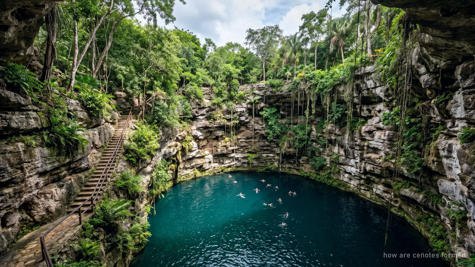
The collapse comes next. Wikipedia’s cenote article says the roof of a dissolved cave can fall in, and the fallen blocks keep dissolving, which can lead to more collapse. It adds that collapse is probably faster when the water table drops below the cave ceiling, because the water no longer holds the rock up. The result is a cenote: an opening from the surface into the flooded cave.
| Stage | What happens | Source |
|---|---|---|
| Dissolution | Slightly acidic rain dissolves limestone into caves | Monroy-Ríos, Northwestern University |
| Halocline | Most dissolving happens where fresh water meets salt water | Monroy-Ríos; Wikipedia |
| Ice age | Sea level about 100 to 120 m lower; caves dry | Monroy-Ríos; INAH via Reuters |
| Sea level rise | Caves flood | Monroy-Ríos; INAH via Reuters |
| Collapse | Cave roof falls in and opens the water | Wikipedia |
What the flooded caves preserved
Because the caves were dry during the ice age and then flooded, they work as time capsules. Mexico’s INAH, quoted by Reuters in February 2018, said the rising water preserved remains of extinct Pleistocene animals in the Sac Actun system near Tulum. The same report counted about 200 archaeological sites in that system, about 140 of them Maya.
Wikipedia’s Sac Actun page records the clearest example. In a deep chamber called Hoyo Negro, explored in March 2008, divers found a mastodon at 60 m and a human skull at 43 m, from a teenage girl named Naia. In another Quintana Roo cave, the “Eve of Naharon” skeleton was carbon-dated to about 13,600 years old, per Wikipedia’s cenote article. Both finds were made in caves that are now under water.
Many cenotes are openings into the same cave system. Wikipedia says Sistema Sac Actun alone has 228 cenote entrances.
The Ring of Cenotes
Around 66 million years ago an asteroid struck what is now the north coast of Yucatán. Wikipedia’s Chicxulub crater page says the crater is about 200 km (120 mi) across, buried about 1 km under younger rock. Estimates of its full size vary, from about 180 km for the inner ring to up to 300 km for the whole structure.
You cannot see the crater. You can see its outline, because cenotes cluster in a ring over the inner rim, with a radius of about 70 to 85 km around Chicxulub Pueblo. Wikipedia says they probably formed where rock weakened by the impact sank, and that the ring is now a path for groundwater flow. Researchers first noticed the circle of cenotes on satellite images; Pope and colleagues tied it to the crater in 1996, per Wikipedia’s cenote article. Pemex geophysicists had spotted the buried circle in 1978.
Part of the ring is protected. The Ramsar Convention lists the Anillo de Cenotes as wetland site no. 2043, designated on 2 February 2009: 891 hectares and a network of 99 cenotes in Yucatán state. Its listed threats include tourism and large-scale water extraction for resorts. Yucatán state also has its own reserve for the ring, created in 2013 and redrawn in 2025, Por Esto reported.
The cenotes near Chichén Itzá and Valladolid, such as Ik Kil, are inland in Yucatán state. Cancún and Tulum are on the other side of the peninsula. There, Wikipedia says, cenotes are more numerous and scattered more randomly, because the limestone is more fractured and more permeable.
Why they are mostly in Mexico
The Yucatán has the three things cenotes need, all in one place: flat, soluble limestone; rain with nowhere to run off; and a coastal water table that rose and fell with the ice ages. It also has the crater ring. Estimates of the number of cenotes on the peninsula run from at least 6,000 to about 10,000, per sources cited by Wikipedia. The what is a cenote guide sets out the counts and who made them.
Cenotes outside Mexico
Cenote-like sinkholes exist elsewhere. Wikipedia lists:
- Australia: Ewens Ponds, Kilsby sinkhole and Little Blue Lake, near Mount Gambier in South Australia.
- The Bahamas: Thunderball Grotto.
- Dominican Republic: Los Tres Ojos, Hoyo Azul and Ojos Indígenas.
- Greece: Melissani Cave on Kefalonia.
- Zimbabwe: Chinhoyi Caves.
- United States: Blue Hole in Santa Rosa, New Mexico; Bottomless Lakes, New Mexico; Montezuma Well, Arizona; Hamilton Pool, Texas; Blue Hole in Castalia, Ohio.
Belize’s Great Blue Hole is a marine sinkhole about 124 m deep that formed when sea level was lower during the ice ages, but Wikipedia does not call it a cenote. The US Geological Survey says sinkholes form wherever groundwater dissolves soluble rock, and that Florida, Texas, Alabama, Missouri, Kentucky, Tennessee and Pennsylvania see the most sinkhole damage.
Where to see them
The quickest way to see what all this geology produces is to swim in one. Our list of the best cenotes near Cancún covers the open, semi-open and cave cenotes within a day trip. For the crater ring itself, the Chichén Itzá day with a cenote swim heads into Yucatán state; it and the other cenote tours from Cancún include transport.
Frequently asked questions
How are cenotes formed, in short?
Rain picks up carbon dioxide and becomes slightly acidic. It dissolves the limestone into caves. When the water table drops or the rock weakens, a cave roof collapses and opens the water to the sky: that hole is a cenote.
Did the asteroid that killed the dinosaurs create the cenotes?
Not directly. Dissolving limestone made the cenotes. But the Chicxulub impact about 66 million years ago weakened the rock in a ring, and cenotes cluster along that ring, Wikipedia says. That line is called the Ring of Cenotes.
What is the Ring of Cenotes?
A circular band of cenotes in Yucatán state that marks the inner rim of the buried Chicxulub crater, with a radius of about 70 to 85 km. Part of it is Ramsar wetland site no. 2043, a network of 99 cenotes protected since 2009.
Are cenotes only in Mexico?
No. Wikipedia lists similar water-filled sinkholes in Australia, the Bahamas, Canada, the Dominican Republic, Greece, Zimbabwe and the United States. The Yucatán has by far the most, because of its flat limestone and its lack of rivers.
How old are cenotes?
The limestone is far older than the holes. Many caves were dry at the last ice age, about 20,000 years ago, when sea level was about 120 m lower, and flooded as it rose. Zapote's Hells Bells began growing more than 5,200 years ago.
Sources